
Geotagger
Write GPS coordinates into photo EXIF metadata.
Drop image here
Write GPS coordinates into the photo’s EXIF metadata. One image at a time — export is JPEG so GPS data sticks.
1 image · 200 MB max
Choose imageHow it works
How to get latitude & longitude from Google Maps
Find any place on Google Maps, then paste the coordinates into Geotagger.
- 1
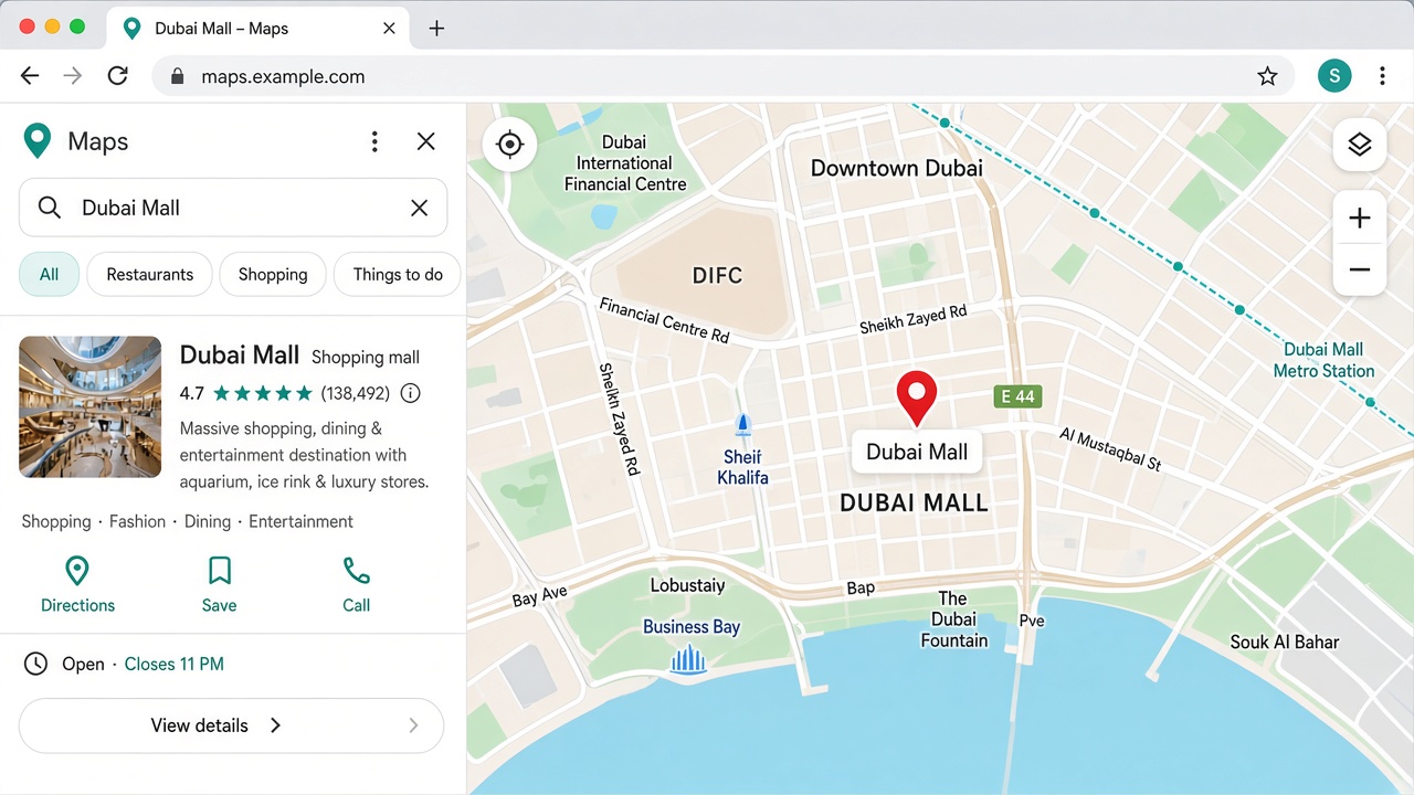
Open Google Maps
Go to maps.google.com and search for your place, or pan the map to the exact spot.
- 2
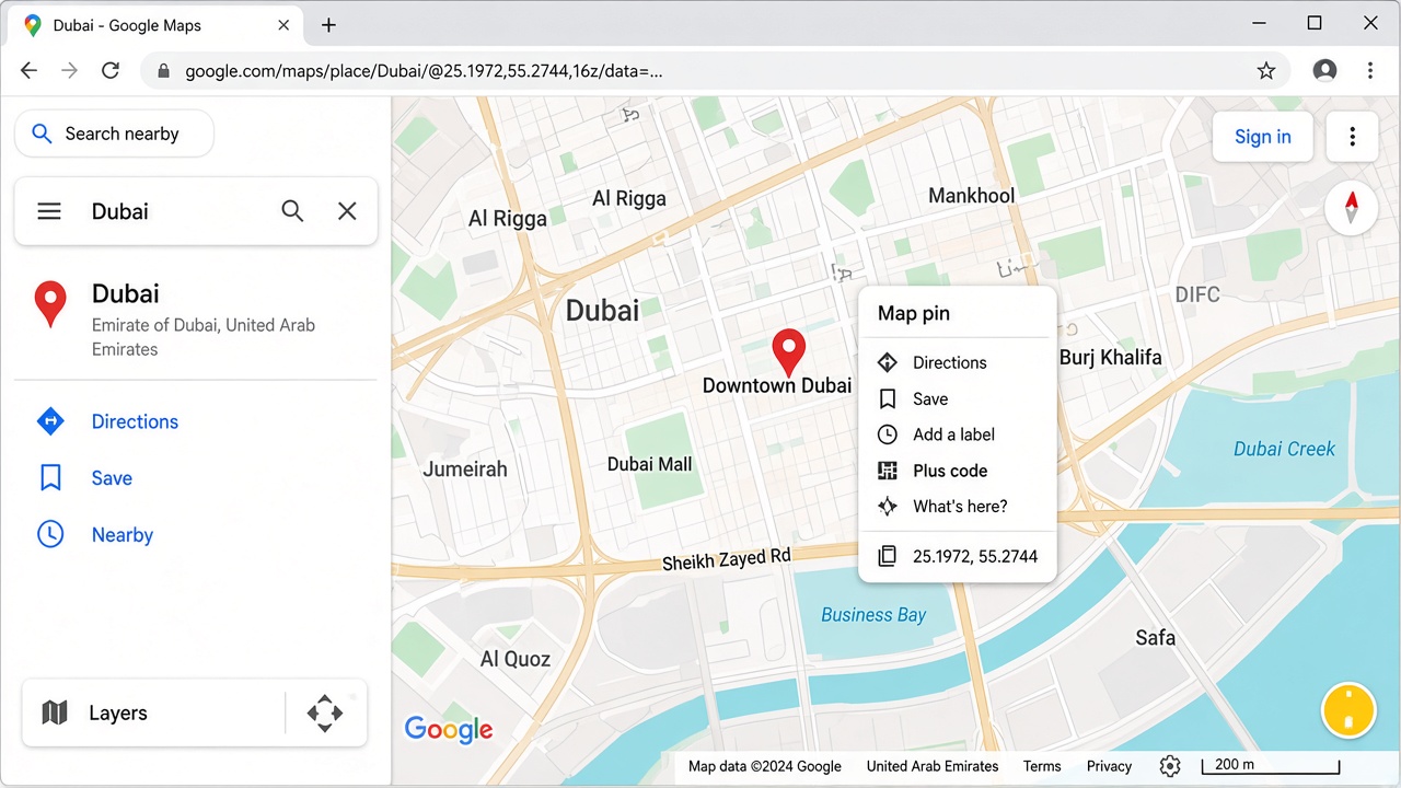
Right-click the pin
Right-click (or long-press on mobile) on the map marker. In the menu, click the coordinates near the top.
- 3
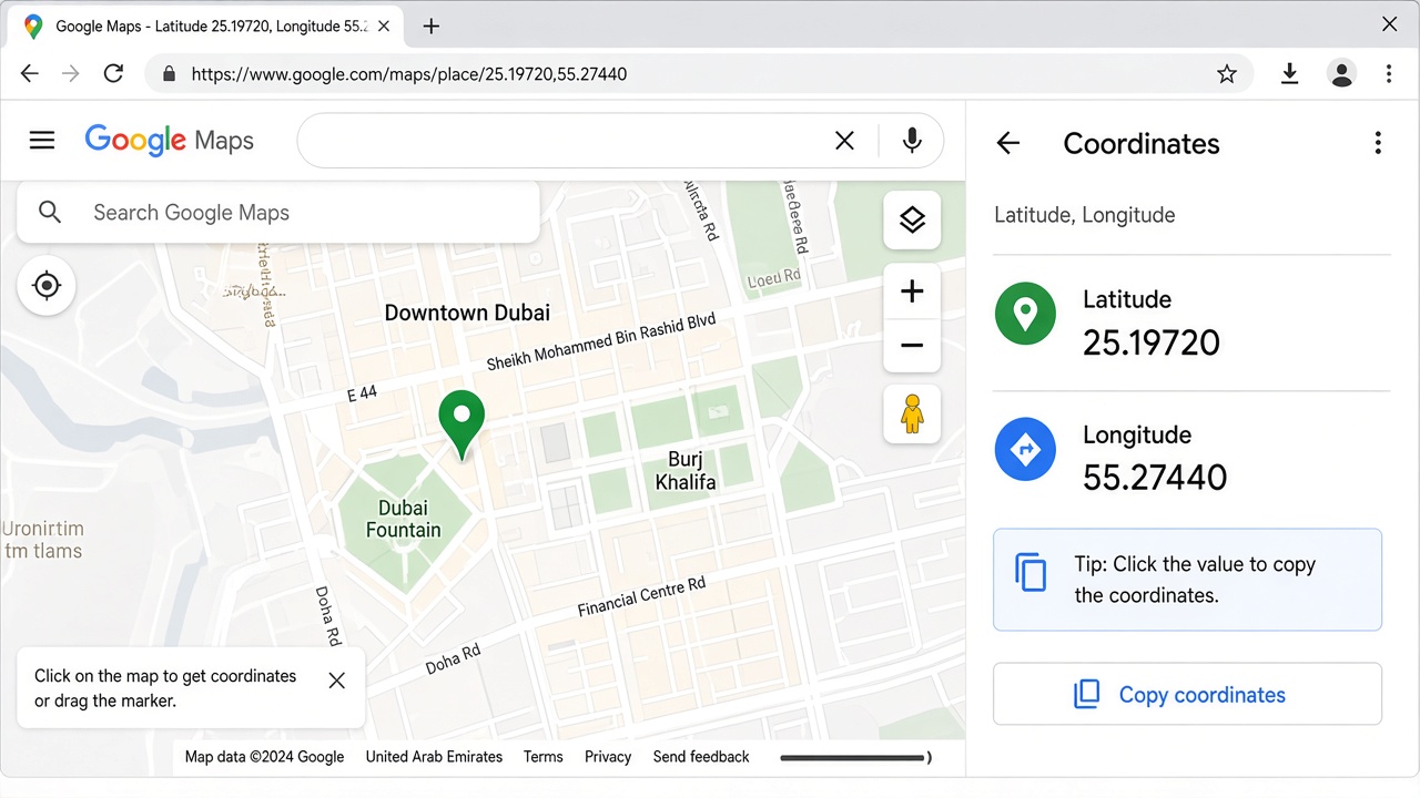
Copy lat & lng
Maps copies or shows two numbers: latitude first, then longitude (for example 25.19720, 55.27440). Paste them into Geotagger.
Related tools
FAQ
Yes — no account required for the public tool page.